Courses:
Surveying Course
Here's the translation with the original formatting preserved: html
Why Should We Learn the Surveying Course?
This is an intensive surveying course covering instruments and an introduction to surveying and engineering software. The course includes full hands-on training on the various surveying instruments, as well as practical training on the AUTOCAD program.
First: Surveying Instruments
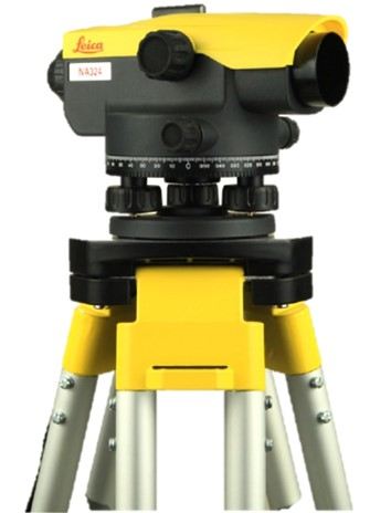
Level Instrument
You will be introduced to the level instrument and trained on performing grid and longitudinal leveling, laying drainage pipes, and carrying out leveling operations on roads and land. You will also be trained on measuring elevations for both regular and irregularly shaped plots of land.
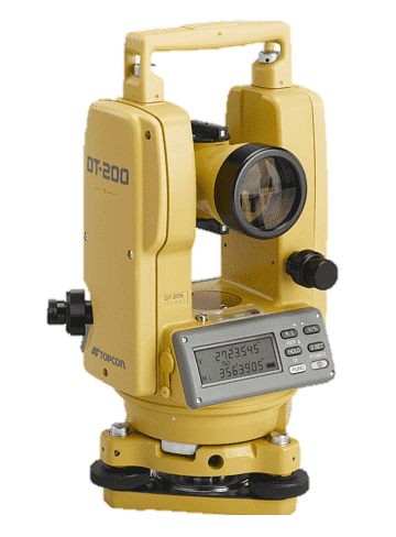
Theodolite
You will be introduced to the instrument and how to set it up, and trained on how to measure angles, perform traverses, and carry out surveying and setting-out operations using the theodolite.
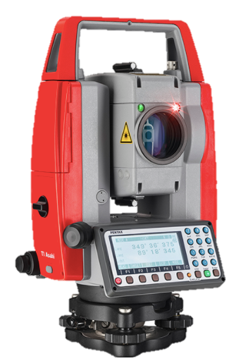
Total Station
An introduction to the instrument and how to set it up, along with training on creating files, performing surveying and setting-out operations, carrying out resection work, and learning how to perform offsets for lines and curves for road and drainage works, as well as construction works, all using the latest instruments.
 Second: Various Surveying Software Programs
This section covers working fully with the program for both surveying and engineering purposes, including:
Course Duration:
To book, click here Book Now